Arcgis Online
Introduction
FieldTwin offers a powerful platform for integrating and analyzing geospatial data, allowing you to leverage ArcGIS features to enhance your visualizations and analyses within FieldTwin.
To start, you can establish a link to ArcGIS within FieldTwin, connecting directly to your account and importing geospatial data into your projects. This enables you to visualize detailed information such as bathymetry, topography, and more.
In the following sections, we will walk through the step-by-step process of creating an ArcGIS link, importing data, and using the rule engine to enhance your visualization and analysis experience in FieldTwin. If you'd like to delve into more details about each step, you can refer to the resources mentioned at the bottom of the page.
Let's begin by exploring how to establish an ArcGIS link in FieldTwin and import geospatial data into your projects.
Setup
You can also use Arcgis online with FieldTwin, you need to configure your personal account or organisation in Esri's developers.arcgis.com If you belong to a larger organization this steps might need to be done by your IT department.
Create new OAuth 2.0 Application
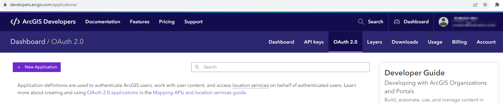
In the ArcGis Developer page dashboard click OAuth 2.0 in the top menu
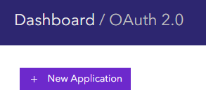
Click + New Application
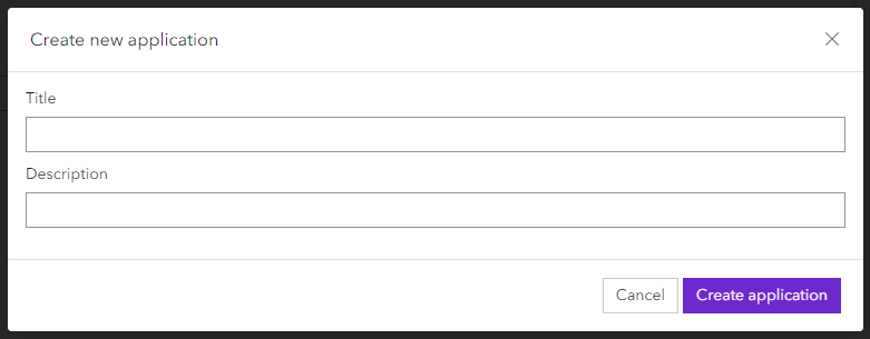
Give your application a name and description
Setting up Redirect URL's
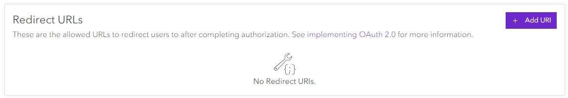
After the creation of the application you need to set up 3 redirect URL's, click the + Add URI button
Add the following 3 URLs:
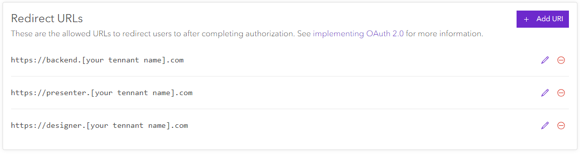
you find the tenant name in the address bar in chrome if you open FieldTwin. It usually is in the form companyname.fieldtwin.com Its important you add all 3 URL's
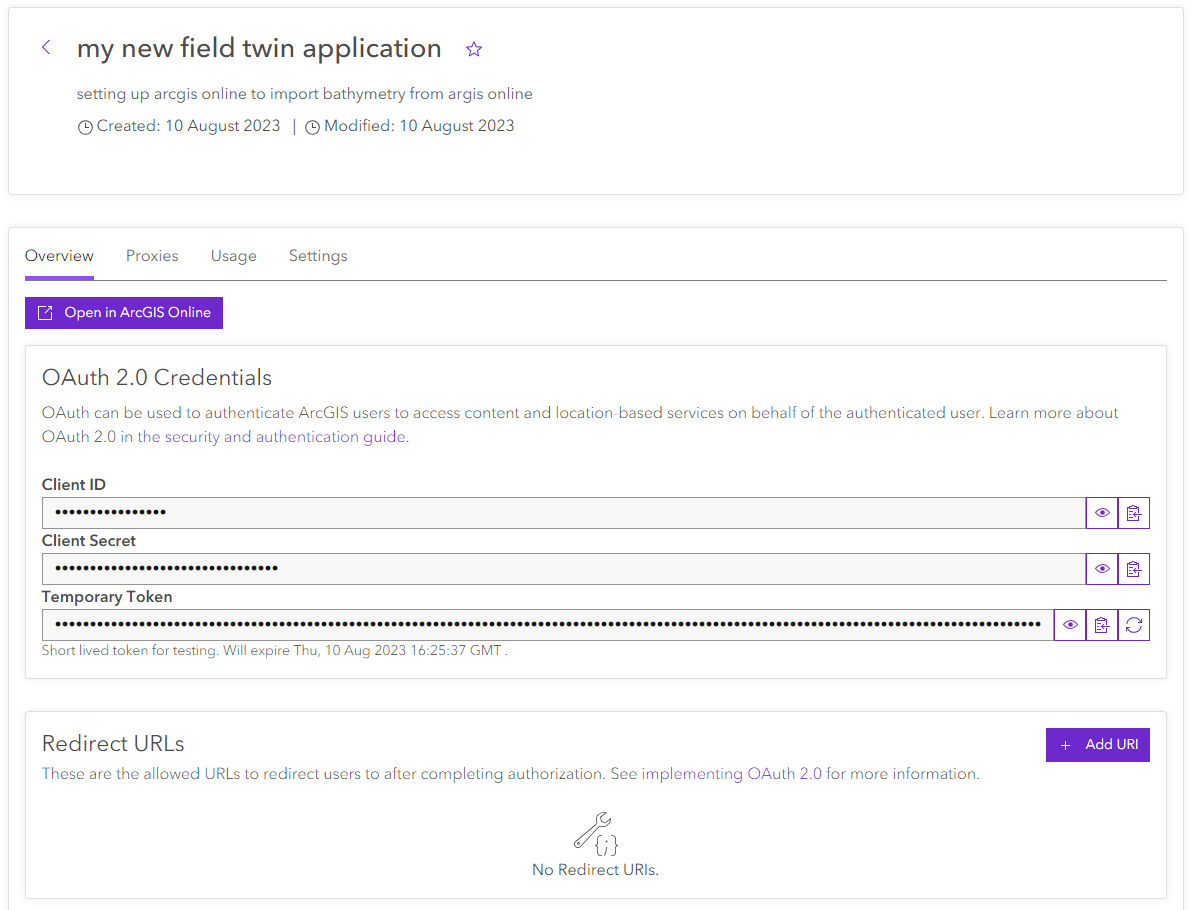
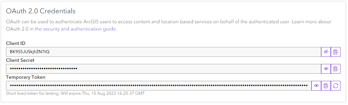
After the creation of the redirect URL's you can retrieve your Client ID by clicking the eye icon to the right of the Client ID text field

Then just copy the Client ID
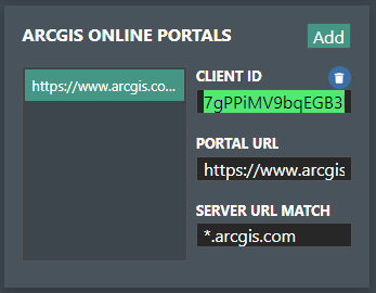
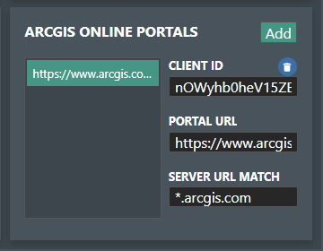
Go into your account admin page in Fieldtwin and create a new Arcgis Online Portal
Press the ''Add'' button to add a new Arcgis online portal
Select the pre-populated Client ID and paste the one from Arcgis developers page
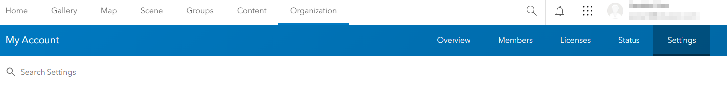
Now you have successfully set up the link for your Arcgis Online application to FieldTwin, the last step is to setup your organizations access, go to www.arcgis.com
Sign in and navigate to the Organization page. Click Settings to the far right in the second top bar
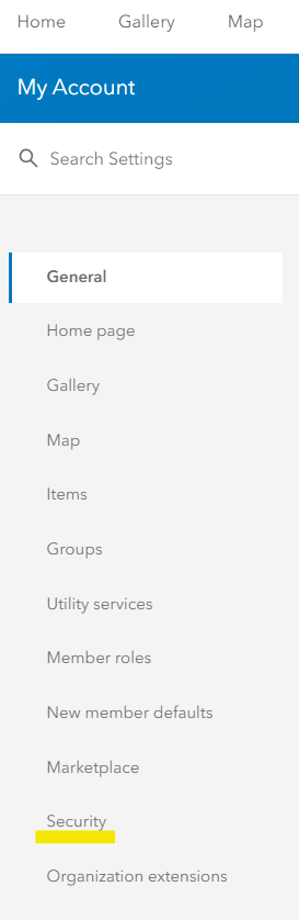
Select Security in the Left menu
Here you need to scoll down to the section called Apps and Click Add approved app
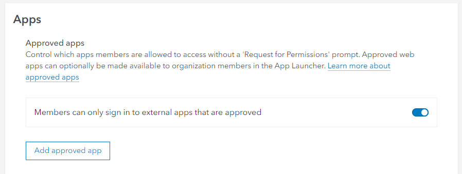
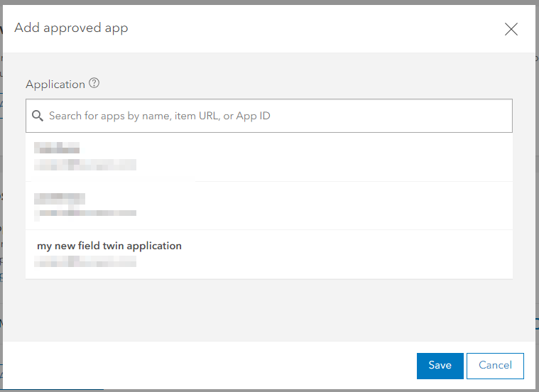
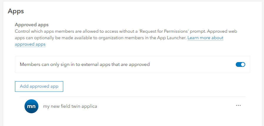
Select you application that you created in the previous setup and press save
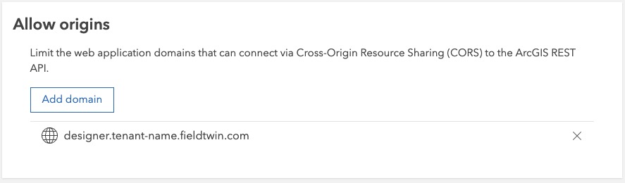
Now you have to allow access to the ArcGIS REST API - scroll to 'Allow origins' and add the following URL(s):
| URLs |
|---|
| projector.tenant-name.fieldtwin.com |
| designer.tenant-name.fieldtwin.com |
Ensure that you replace tenant-name with your own tenant name e.g. designer.companyname.fieldtwin.com
That is it, you now are able to utilize arcgis online in FieldTwin.
Importing Bathymetry from Arcgis Online
One of the powerful features of linking Arcgis Online to FieldTwin is to import Bathymetry or Topography 3D Data directly from Arcgis online.
To demonstrate Bathymetry we are going to import bathymetry data from the online Oceans2 Server
In FieldTwin open your project and navigate your viewport to the area where you want to import data. This is best to do in 2D view. For our demonstration we are choosing a area just of the coast of Norway, to easily navigate we have already linked a Arcgis map server showing a ordinary world map.
Click Import and 3D Surface
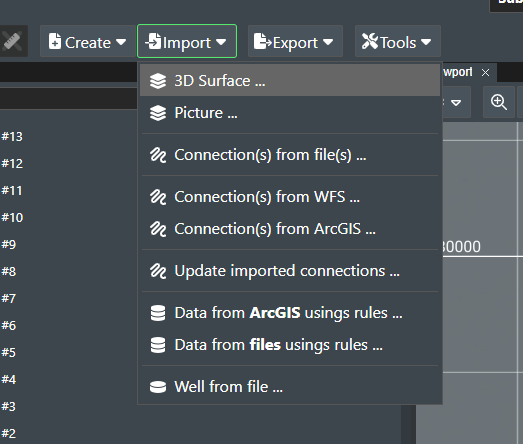
Select Arcgis and press the green + button to the right
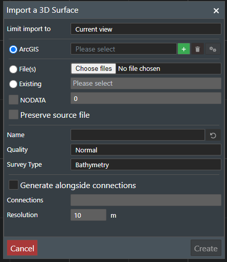
In the configuration screen , give the server a name and paste in the URL to the seafloor arcgis online server.
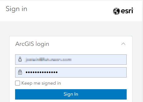
click the Use ArcGIS online authentication follow the log in process to arcgis with your username and password
NOTE! If you have pop-up blocker activated, be sure to allow for the dialog box from arcgis online to appear.
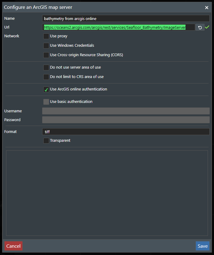
press Save
Now give the bathymetry area you want a name ,choose your quality and survey type and press create
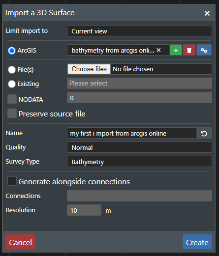
The bathymetry data will be imported the same way as from a local file and you can follow the process in the tree view.
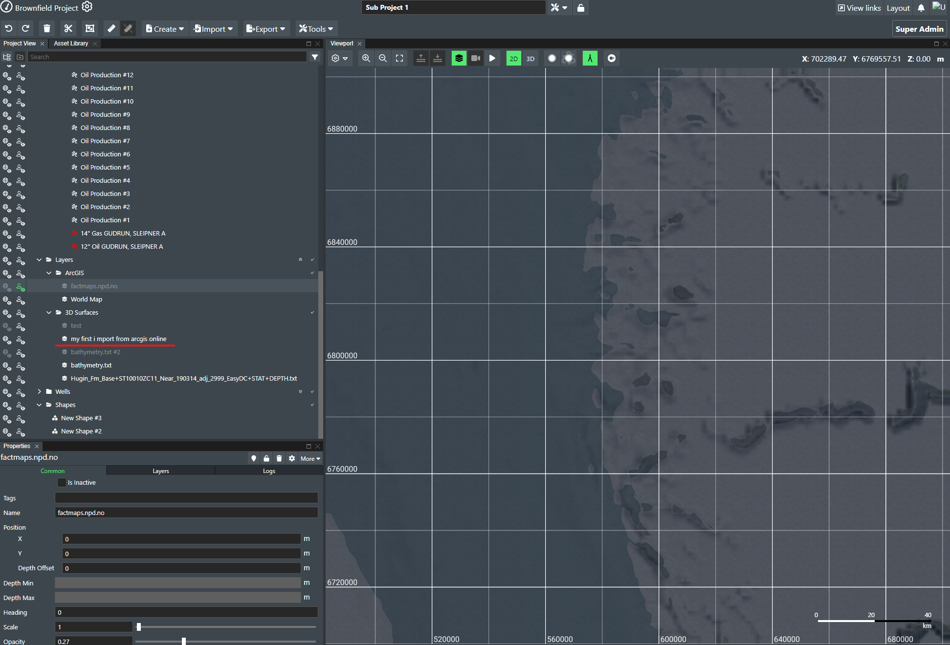
when done importing the data will appear in the viewport

Creating a link to Arcgis and using the rule engine
There are other methods to import data from Arcgis through the create menu in FieldTwin which can be found here: Create menu
You can also use the rule engine to import data from Arcgis and convert the attributes into 3D models. More information can be found here: Rule Engine